Severe Tropical Storm Francisco nears typhoon category
MANILA, Philippines – Severe Tropical Storm Francisco (Mekkhala) was nearing typhoon category on Sunday morning, June 21, while moving over the Philippine Sea.
So far, Francisco has maximum sustained winds of 110 kilometers per hour and gustiness of up to 135 km/h.
Under the classification system of the Philippine Atmospheric, Geophysical, and Astronomical Services Administration (PAGASA), a typhoon has maximum sustained winds of 118 to 184 km/h.
PAGASA said in its 11 am bulletin that Francisco may strengthen into a typhoon on Sunday, then reach its peak intensity by Monday, June 22, or Tuesday, June 23.
The severe tropical storm was last spotted 1,170 kilometers east of southeastern Luzon at 10 am on Sunday, moving northwest at 25 km/h.
It is projected to stay over the Philippine Sea, but PAGASA said “a closer approach to extreme Northern Luzon” is possible if Francisco’s track shifts westward.
Francisco will also be enhancing the southwest monsoon or habagat. According to the weather bureau, the enhanced southwest monsoon may start bringing heavy rain to parts of Luzon and the Visayas on Monday. Specific rainfall advisories are expected to be issued.
In the meantime, on Sunday, the trough or extension of the severe tropical storm is causing scattered rain and thunderstorms in Bicol and Eastern Visayas. Similar conditions are also seen in the rest of the Visayas as well as Mindanao and Palawan, but due to the southwest monsoon.

In anticipation of strong winds from Francisco, Signal No. 1 might be raised for portions of Cagayan, Babuyan Islands, and Batanes by Monday morning.
The southwest monsoon is also bringing strong to gale-force gusts to the following areas:
Sunday, June 21
- Siquijor, Camiguin, and southern parts of Davao Oriental, Davao Occidental, and Sarangani
Monday, June 22
- Romblon, most of Visayas, Basilan, Sulu, Zamboanga Peninsula, Misamis Occidental, Lanao del Norte, Camiguin, Surigao del Norte, Dinagat Islands, eastern part of Davao Occidental, and southern part of Davao Oriental
Tuesday, June 23
- Batanes, Babuyan Islands, northern parts of Cagayan and Apayao, Pangasinan, Zambales, Bataan, Aurora, most of Southern Luzon and Visayas, Zamboanga Peninsula, Northern Mindanao, Surigao del Norte, Dinagat Islands, Davao Occidental, and Davao Oriental
As for coastal waters, up to moderate seas are expected in these seaboards within 24 hours:
- Eastern seaboards of Catanduanes and Davao Oriental – waves up to 2.5 meters high
- Seaboards of Isabela and Surigao del Sur; eastern seaboards of Cagayan, northern Aurora, Albay, Sorsogon, Eastern Samar, Dinagat Islands, Siargao Island-Bucas Grande Island Group, and Davao del Sur; northern and eastern seaboards of Catanduanes and Northern Samar; northern seaboard of Camarines Sur; southern seaboard of Davao Oriental – waves up to 2 meters high
Small vessels should take precautionary measures, or avoid sailing, if possible.
Francisco is the Philippines’ sixth tropical cyclone for 2026, and the second for June. It could leave the Philippine Area of Responsibility on Friday, June 26.
PAGASA had announced the onset of the southwest monsoon last May 30, and the start of the rainy season on June 4. – Rappler.com


You May Also Like
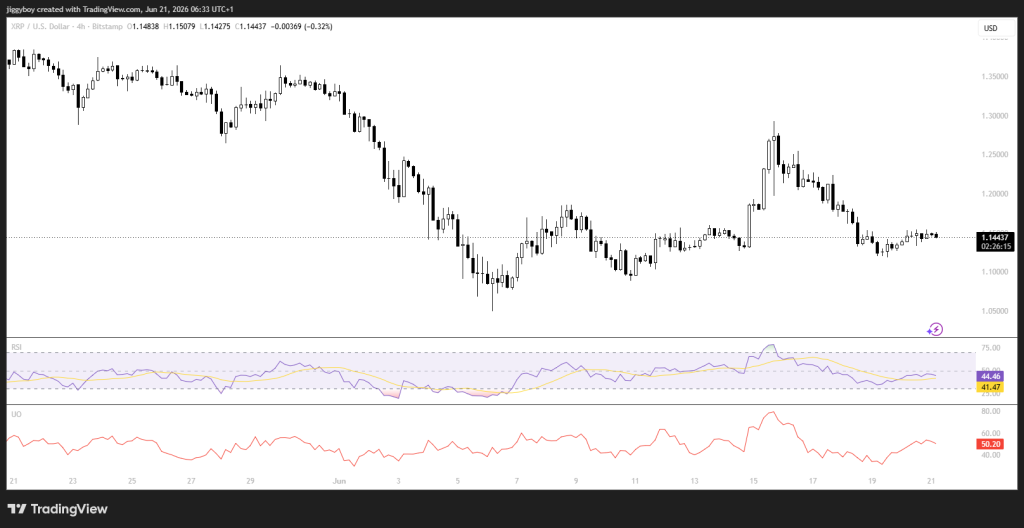
Crypto Price Prediction for Today, June 21: XRP, Ethereum (ETH), Monero (XMR)
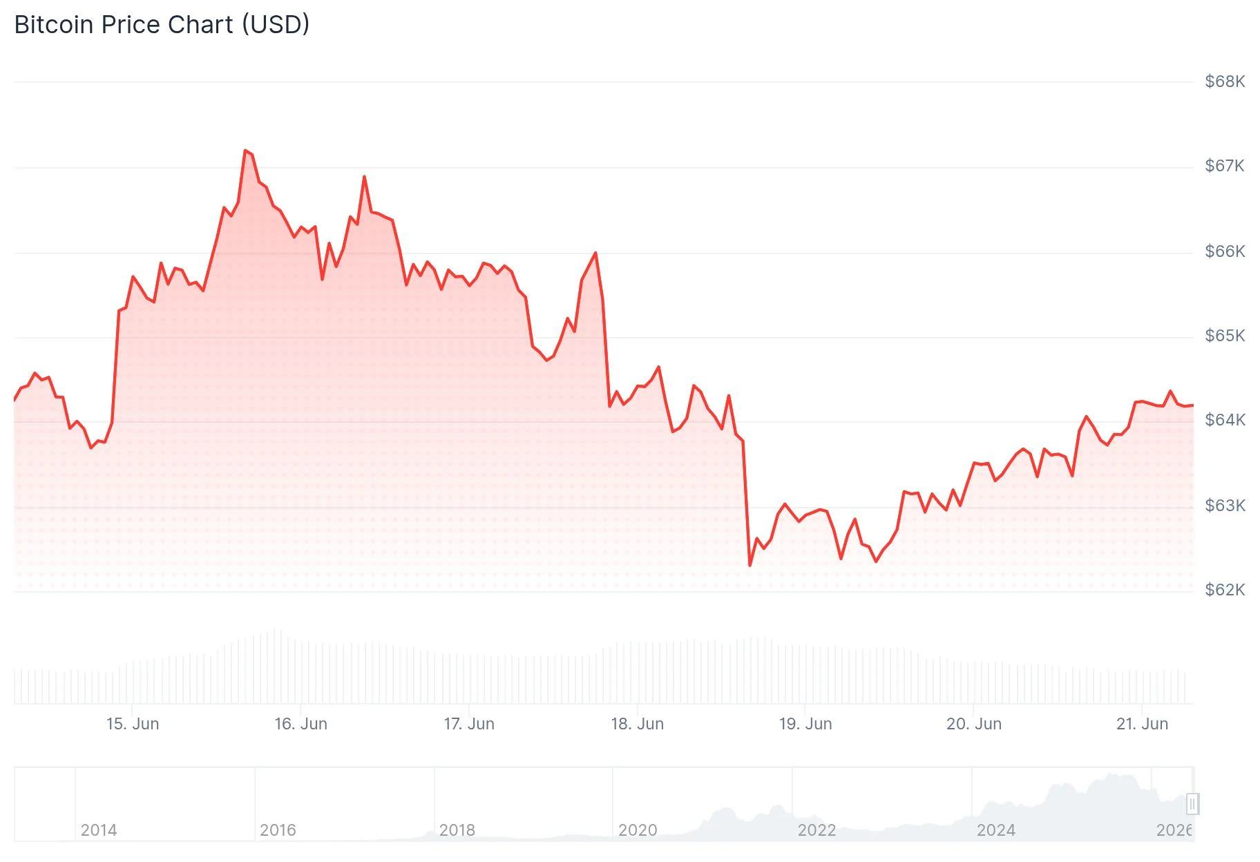
Bitcoin (BTC) Reclaims $64K Amid Switzerland Diplomacy — Critical Levels Ahead

Japan pension fund plans 1% crypto allocation in FY2026